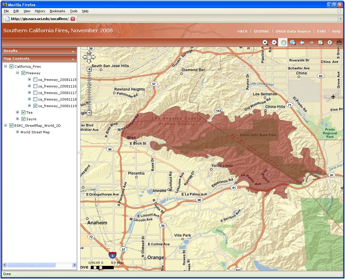
Geographic Information System (GIS) software has traditionally been used on desktop computers to develop, display, and analyze spatial data. Recent advances in web-based GIS software now allow researchers and instructors to upload their spatial data to online GIS services. Colleagues and students can then view and query — and even edit — GIS data online via a web browser and without having GIS software installed on their desktop computers.

NACS uses ESRI’s ArcGIS Server to provide online GIS services. Development of a new online GIS service is straightforward. Once an ArcGIS Desktop document is developed, the document and associated GIS data files are uploaded to an ArcGIS Server. A GIS service is generated and custom data queries are assigned. The URL for this new GIS service can then be distributed for users to visit the new site.
NACS has been developing GIS services using ArcGIS Server for two years. If you are interested in making your GIS data available online, we can develop a GIS service on our server using your data, or we can help you set up ArcGIS Server on your own or a departmental system.
Here are a few ArcGIS Server applications running on the NACS GIS server. When viewing these GIS services, consider how your own spatial data might be displayed and explored using ArcGIS Server.
Recent Southern California fires (Freeway, Tea, and Sayre) using ESRI basemap data and fire perimeters collected by the Geospatial Multi-Agency Coordination.
California No Child Left Behind, within the UCI Department of Education.
History of North American Indians used for instruction within the UCI Department of History.